
By Per Peterson
Tom Hesse can only guess how much rain he got in Thursday morning’s storm. That’s because the large sky-is-falling hail that doused parts of southwestern Minnesota nearly knocked over his rain gauge.
Indeed, Thursday’s storm had a little bit of everything.
“It hit about a quarter to five,” said Hesse, who lives on Lyon County Road 9, about 5 miles north of Amiret. “We headed down from upstairs and we could hardly see the barn from the house. It looked like a blizzard. By the time we got downstairs … it just got louder and louder. Windows started breaking, water started coming in. It all just happened so fast. I got an inch of rain in my gauge, but it’s sitting at about a 45-degree angle; so it’s hard to tell how much we got; the hail beat that down even.”
Thursday’s storm brought back some bad memories for Hesse from six years ago when straight-line winds blew through the area on July 1 of that year.
“They called them straight-line winds, but I think it had some twist to it,” Hesse recalls. “This one brings back a lot of bad memories.”
Most the areas affected by the storm were west and north of Tracy.
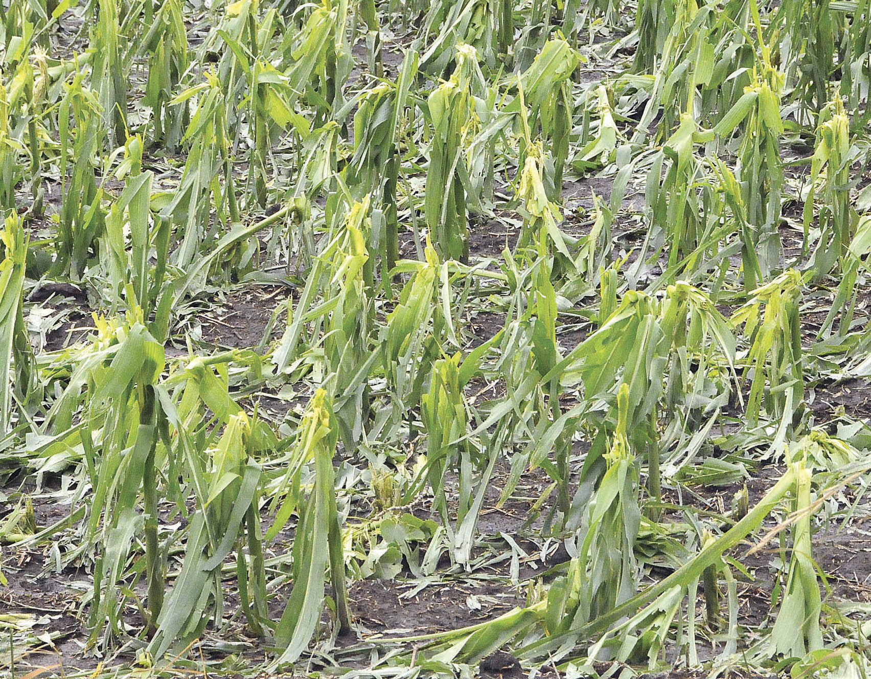
Numerous corn and soybean fields suffered widespread damage due to the winds and large hail. The Hesses received golf ball-size hail, as did the Kim Roggatz farm.
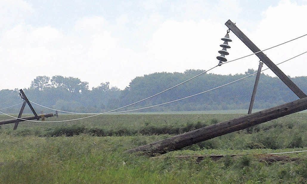
Directly north of Tracy, about 3 miles out on Lyon County Road 11 (Airport Road), winds snapped five power line poles near the Phil Nelson residence on Lyon County Road 79/160th St. Great River Energy crews spent Thursday morning picking up and replacing the poles. Fields in that area — 160th and 170th streets along the Lyon-Redwood County Line Road — were also damaged and there were numerous areas of standing water in fields.
For more on this article, see this week’s Headlight-Herald.
