Go to main contents
Go to main menu
Facebook.com
Saturday, December 13, 2025 at 12:39 PM
Accessibility
Sign in
HOME
NEWS
SPORTS
OBITUARIES
PUBLIC NOTICES
CLASSIFIEDS
CONTACT US
SUBSCRIBE TODAY!
EVENTS
Show remaining menu elements
Tracy Area Headlight Herald
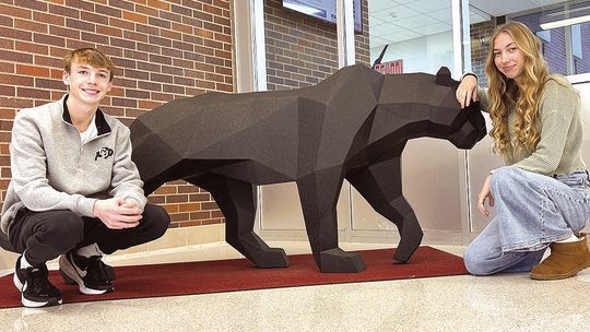
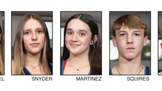
Taylor x 2: Squires and Munson are ExCEL nominees
TIME TO LEAVE THE STATION
A comforting thought
Panther girls have successful mat debut; boys win 2
COLD STRETCH DOOMS PANTHERS
Smiles (& some tears) with Santa
NEWS
Previous
Next
Council haggles over levy, settles on 5% increase
Article upload date:
12/11/2025 06:00 AM
Winter Prelude
Article upload date:
12/11/2025 06:00 AM
Tracy council narrowly approves SCADA bid
Article upload date:
12/11/2025 06:00 AM
Blood drive in WG is Dec. 17
Article upload date:
12/11/2025 06:00 AM
Sweet structures
Article upload date:
12/11/2025 06:00 AM
Love/hate 6, 7
Article upload date:
12/11/2025 06:00 AM
View more
SPORTS
Previous
Next
DNR CORNER
Article upload date:
12/11/2025 06:00 AM
Panther girls have successful mat debut; boys win 2
Article upload date:
12/11/2025 06:00 AM
Sports Flashbacks
Article upload date:
12/11/2025 06:00 AM
COLD STRETCH DOOMS PANTHERS
Article upload date:
12/11/2025 06:00 AM
Seasoned Panther wrestling team eager to hit the mat
Article upload date:
12/04/2025 06:00 AM
BOYS OPEN WITH 28-POINT WIN
Article upload date:
12/04/2025 06:00 AM
View more
Special Sections
WEATHER
Click to see more
Temperature:
39
°
F
Town:
Tracy
Pressure: 1019 hPa
Wind: 2 mph
Tracy Area Headlight Herald
PUBLIC NOTICES
Previous
Next
5-29-25 Legales
Article upload date:
05/29/2025
5-22-25 Legals
Article upload date:
05/22/2025
5-15-25 Legals
Article upload date:
05/15/2025
5-8-25 Legals
Article upload date:
05/08/2025
5-1-25 Legals
Article upload date:
05/01/2025
4-24-25 Legals_1
Article upload date:
04/24/2025
View more
OBITUARIES
Previous
Next
Janet and Stuart Anderson
Article upload date:
12/04/2025
Roselyn Johnson
Article upload date:
12/04/2025
Donald Johnson
Article upload date:
11/20/2025
View more